
One of the best ways to enjoy travel without as may crowds is to get off of the main highway and take a scenic drive. In April 2016 my wife and I drove from our home in Colorado Springs, CO to Grand Junction, CO to support our niece, Megan, who was participating in a school choir competition.
Loveland Pass is accessible via U.S. Highway 6 (US-6), which west of Denver largely follows Interstate 70 (I-70) west through Colorado into Utah. From Colorado Springs, we drove north on Interstate 25 (I-25), then skirted around the west side of Denver on Colorado Highway 470 (C-470), and then headed west on I-70. Driving west of Denver, we didn’t have to go far before we found ourselves surrounded by the beautiful Rocky Mountains. To drive over Loveland Pass, we simply took Exit 216 off of I-70 (right next to the Loveland Ski Area), which bypasses the Eisenhower/Johnson Tunnel and winds all the way up to the 11,990 ft. (3,655 m) summit of Loveland Pass and back down the other side, returning us to I-70 at Exit 205 in the town of Silverthorne, CO.
The following videos show what it was like for us to drive up the pass going from East to West.
Video: Driving Up Loveland Pass from the East (1)
Video: Driving Up Loveland Pass from the East (2)
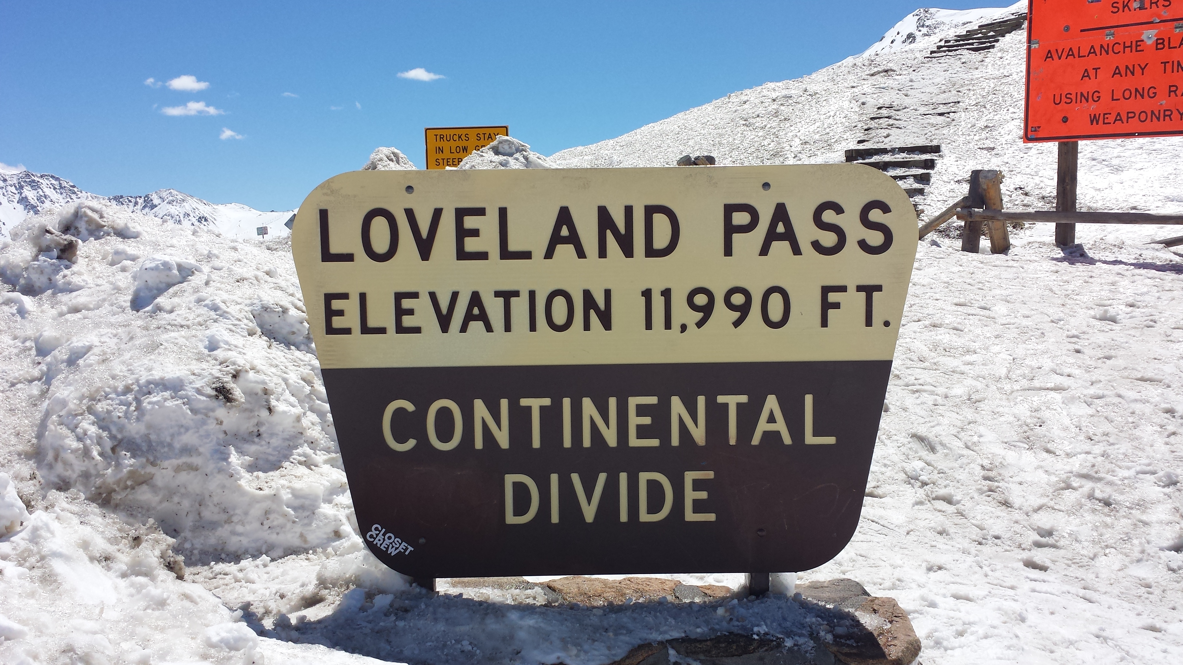
We took the pass in the spring, but as you can see it more resembled winter with plenty of snow everywhere. Fortunately US-6 is almost always cleared of snow whenever possible to allow trucks carrying hazardous or flammable materials to bypass the tunnel portion of I-70. It’s only about a 4 mile (6.4 km) drive from I-70 to reach the summit from the East, and only takes about 7 minutes to make the drive with favorable weather and traffic conditions.
When you reach the summit, you are at one of the points of the Continental Divide, which is also called a “hydrological divide,” meaning that rivers and streams on the east side of the divide eventually flow into the Atlantic Ocean (except for the ones at the northernmost part of the continent, which drain into the Arctic Ocean), while rivers and streams on the west side of the divide eventually flow into the Pacific Ocean. As you stand at the summit of Loveland Pass you are nearly at timberline, which means trees can no longer receive enough oxygen to thrive.
At the summit there are several trails to nearby mountains with summits of 13,000 feet (3,962 m) or more, making it an excellent location to practice high-altitude hiking. From the parking area you can day-hike to the summits of several peaks at 13,000 feet or more, including “Cupid’s Peak” (officially named “UN 13117”) (13,117 ft. / 3998 m), Mt. Sniktau (13,234 ft. / 4034 m ), Grizzly’s Peak (13,427 ft. / 4093 m), and if you are in the mood to bag a “14er,” Torrey’s Peak (14,267 ft. / 4349 m). For more details on how to hike these mountains (please see Additional Resources below).
The following pictures and video show what it is like to stand on the summit of the pass.

Video: Up on the Summit of Loveland Pass, CO
On the way back down we passed the Arapahoe Basin (“A Basin”) Ski Area and the Keystone Ski Resort, but given it was a Thursday, they did not seem all that crowded. It was amazing to see how high the snow banks were along the sides of US-6. The following video shows the view as we drove past the two ski resorts down Loveland Pass towards Silverton. The drive from the summit to Silverthorne is about 16 miles (25.7 km), requiring about 25 minutes in good weather and traffic.
These videos show what the drive back down was like:
Video: Driving Down the West Side of Loveland Pass, CO (1)
Video: Driving Down the West Side of Loveland Pass, CO (2)
Video: Driving Down the West Side of Loveland Pass, CO (3)
Upon reaching Silverthorne we decided to drive along the Dillon Dam Road, which goes along the top of an earthen dam that creates the Dillon Reservoir out of the Blue River. Dillon Reservoir offers camping and boating, as well as featuring bicycle trails that connect to other nearby towns, including Breckenridge, Frisco, and Vail. The following video shows the view from the top of the Dillon Reservoir Dam.
Video: Driving Over the Dillon Reservoir
This additional excursion added about 3 miles (5 km) to our journey, but was well worth it! At the end of the Dillon Dam Road, we rejoined I-70 at exit 203 and continued on our journey to Grand Junction.
Loveland Pass allows you to get high up into the Rockies for a hike (or some skiing) and is a beautiful alternative to simply following I-70 as it tunnels through the Continental Divide.
Practical Information and Resources:
Time Required: You can easily make an excursion over Loveland Pass and be back on I-70 within an hour or less. This mostly depends on how much time you wish to sightsee or hike at the summit of the pass.
Directions:
Loveland Pass is at the highest point of a 20 mile stretch of US-6. On the East side, take the US-6 exit 216 off of I-70. On the West side, take the US-6 exit 205 off of I-70. Dillon Dam Road runs parallel to I-70 and US-6 between I-70 exists 205 and 203.
Caveats:
Driving Conditions – Especially when traveling from late Autumn through early Spring (October – April), you should check the road conditions of I-70 and US-6 before attempting to drive over Loveland Pass. Even though both roads are generally kept clear of snow, sometimes they must be closed due to adverse weather conditions.
Hiking at Altitude – If you decide to do more than brief sightseeing, and are considering a high altitude hike, be sure to drink plenty of water, take it nice and slow, and be aware of afternoon thunderstorms which occur regularly throughout much of the late spring, summer and early autumn. These thunderstorms can be especially dangerous at the summit of the pass because there are no trees or other protection from lightning at that altitude. Also be aware of the symptoms of altitude sickness, which include headaches and nausea. The surest way to cure altitude sickness is to get to lower altitudes as soon as possible.
Crowds – If you plan to head eastbound on I-70 on a Sunday (or on a Monday Holiday) towards Denver, you may want plan for an early morning drive, because the interstate becomes extremely crowded in the afternoon as many residence of the Colorado Front Range will be returning home after enjoying the mountains over the weekend.
Additional Resources (Please Click on the Links Below)